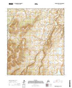
2017 Map of Kantishna River B-3 NW
USGS Topo · Published 2017About this map
The Zitziana River meanders through this interior Alaskan landscape within the Yukon-Koyukuk Census Area, defining much of the drainage pattern in this sparsely settled region. In the southeast corner of the quadrangle, Wien Lake sits as a significant hydrologic feature amidst the varied elevation contours. The map reflects the vast, undeveloped nature of the Tanana Valley watershed in the early 21st century, where the absence of roads or established settlements highlights the dominance of the river system. Surveyed with 20-foot contour intervals, the sheet details the subtle topographical changes across the t5s r19w and t6s r20w townships, illustrating how the river's path is influenced by the surrounding landforms.
Find a feature on this map
6 named features on this map. Tap any name to fly to it.
Don’t see what you’re looking for? This feature index may not catch every label — zoom into the map to look around manually.
Map Details
Editions of this 2017 Kantishna River B-3 NW Map
This is the sole edition of this map. No revisions or reprints were ever made.
Other maps of this area

1948 · Kantishna River
USGS Topo · 1:250,000

1951 · Kantishna River
USGS Topo · 1:250,000

1952 · Kantishna River
USGS Topo · 1:250,000

1952 · Kantishna River C-3
USGS Topo · 1:63,360

1952 · Kantishna River C-4
USGS Topo · 1:63,360

1953 · Kantishna River B-4
USGS Topo · 1:63,360

1953 · Kantishna River B-3
USGS Topo · 1:63,360
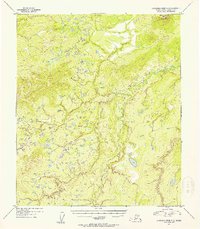
1954 · Kantishna River C-3
USGS Topo · 1:63,360
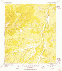
1955 · Kantishna River C-4
USGS Topo · 1:63,360

1964 · Kantishna River
USGS Topo · 1:250,000