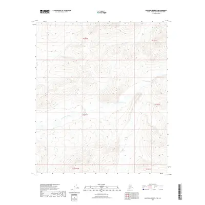
2017 Map of Kantishna River B-4 SW
USGS Topo · Published 2017About this map
The N Fork Kuskokwim River defines the lower drainage of this interior Alaska wilderness, meandering through a series of steep topographic contours and public land blocks. Surveyed in 2017, the terrain is characterized by high ridges and deep valleys, specifically within the townships of t6s r22w, t7s r22w, and t8s r22w. This map captures a pristine landscape where the river system is the primary geological architect, showing no modern road infrastructure or named settlements. It is a vital record for understanding the hydrography and elevation of the Yukon-Koyukuk region, emphasizing the drainage patterns that feed into the larger Kuskokwim watershed.
Find a feature on this map
7 named features on this map. Tap any name to fly to it.
Don’t see what you’re looking for? This feature index may not catch every label — zoom into the map to look around manually.
Map Details
Editions of this 2017 Kantishna River B-4 SW Map
This is the sole edition of this map. No revisions or reprints were ever made.
Other maps of this area

1948 · Kantishna River
USGS Topo · 1:250,000

1951 · Kantishna River
USGS Topo · 1:250,000

1952 · Kantishna River
USGS Topo · 1:250,000

1952 · Kantishna River A-5
USGS Topo · 1:63,360

1952 · Kantishna River B-5
USGS Topo · 1:63,360

1953 · Kantishna River B-4
USGS Topo · 1:63,360

1953 · Kantishna River A-4
USGS Topo · 1:63,360

1964 · Kantishna River
USGS Topo · 1:250,000
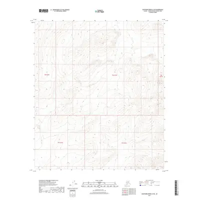
2017 · Kantishna River A-5 NE
USGS Topo · 1:25,000
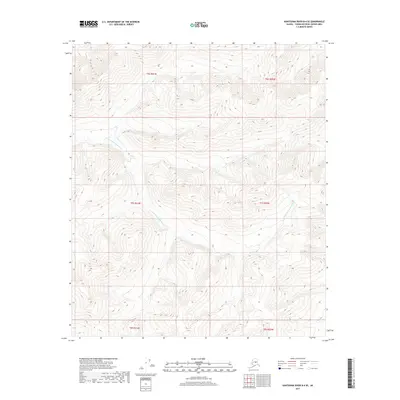
2017 · Kantishna River B-4 SE
USGS Topo · 1:25,000