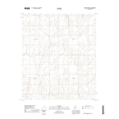
2017 Map of Kantishna River C-2 NE
USGS Topo · Published 2017About this map
Glacial-carved lowlands and meandering watercourses dominate this interior Alaskan landscape, documented through the T2s R15w and T2s R16w townships. The map is defined by a intricate network of ponds, marshes, and seasonal wetlands that dictate the movement of water across the North American Vertical Datum of 1988. While modern mapping technology from the U.S. Geological Survey has refined the elevation data, the region remains largely primitive, lacking named settlements or roads. The complex hydrography reflects the natural drainage patterns of the unorganized borough, providing a clear record of the area's topographical state in the early twenty-first century. These surveys, including T3s R15w and T3s R16w, are essential for understanding the raw physical geography of this subarctic environment before any significant human alteration.
Find a feature on this map
4 named features on this map. Tap any name to fly to it.
Don’t see what you’re looking for? This feature index may not catch every label — zoom into the map to look around manually.
Map Details
Editions of this 2017 Kantishna River C-2 NE Map
This is the sole edition of this map. No revisions or reprints were ever made.
Other maps of this area

1948 · Kantishna River
USGS Topo · 1:250,000

1951 · Kantishna River
USGS Topo · 1:250,000

1952 · Kantishna River C-1
USGS Topo · 1:63,360

1952 · Kantishna River
USGS Topo · 1:250,000

1952 · Kantishna River D-2
USGS Topo · 1:63,360
1953 · Kantishna River D-1
USGS Topo · 1:63,360
1953 · Kantishna River C-2
USGS Topo · 1:63,360
1954 · Kantishna River D-1
USGS Topo · 1:63,360
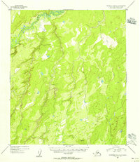
1954 · Kantishna River C-2
USGS Topo · 1:63,360
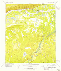
1954 · Kantishna River D-2
USGS Topo · 1:63,360