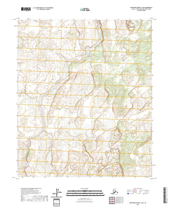
2024 Map of Kantishna River C-2 NE
USGS Topo · Published 2024About this map
Wetlands and low-lying topography dominate this portion of the Alaska interior, documented through the lens of recent hydrological and elevation data. The landscape is defined primarily by its Public Land Survey System coordinates, encompassing portions of T2s R16w and T2s R15w in the north, and T3s R16w and T3s R15w to the south. This area is a complex network of unnamed drainage patterns and seasonal water bodies, reflecting a wilderness environment where natural processes remain largely undisturbed by permanent infrastructure or settlements.
Find a feature on this map
4 named features on this map. Tap any name to fly to it.
Don’t see what you’re looking for? This feature index may not catch every label — zoom into the map to look around manually.
Map Details
Editions of this 2024 Kantishna River C-2 NE Map
This is the sole edition of this map. No revisions or reprints were ever made.
Other maps of this area

1948 · Kantishna River
USGS Topo · 1:250,000

1951 · Kantishna River
USGS Topo · 1:250,000

1952 · Kantishna River C-1
USGS Topo · 1:63,360

1952 · Kantishna River
USGS Topo · 1:250,000

1952 · Kantishna River D-2
USGS Topo · 1:63,360
1953 · Kantishna River D-1
USGS Topo · 1:63,360
1953 · Kantishna River C-2
USGS Topo · 1:63,360
1954 · Kantishna River D-1
USGS Topo · 1:63,360
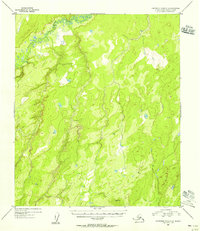
1954 · Kantishna River C-2
USGS Topo · 1:63,360
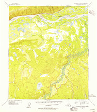
1954 · Kantishna River D-2
USGS Topo · 1:63,360