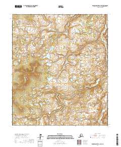
2017 Map of Kantishna River C-3 SW
USGS Topo · Published 2017About this map
Zitziana River winds through the southeastern corner of this Interior Alaska landscape, carving a path through a vast network of wetlands and varying elevations within the t5s r19w township. The terrain is characterized by a high concentration of small, unnamed lakes and ponds, punctuated by prominent features such as Blind Luck Lake and Bent Tree Lake. These water bodies are situated amidst a complex topography of ridges and depressions typical of the Yukon-Koyukuk region.
Find a feature on this map
11 named features on this map. Tap any name to fly to it.
Don’t see what you’re looking for? This feature index may not catch every label — zoom into the map to look around manually.
Map Details
Editions of this 2017 Kantishna River C-3 SW Map
This is the sole edition of this map. No revisions or reprints were ever made.
Other maps of this area

1948 · Kantishna River
USGS Topo · 1:250,000

1951 · Kantishna River
USGS Topo · 1:250,000

1952 · Kantishna River
USGS Topo · 1:250,000

1952 · Kantishna River C-3
USGS Topo · 1:63,360

1952 · Kantishna River C-4
USGS Topo · 1:63,360

1953 · Kantishna River B-4
USGS Topo · 1:63,360

1953 · Kantishna River B-3
USGS Topo · 1:63,360
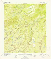
1954 · Kantishna River C-3
USGS Topo · 1:63,360
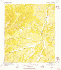
1955 · Kantishna River C-4
USGS Topo · 1:63,360

1964 · Kantishna River
USGS Topo · 1:250,000