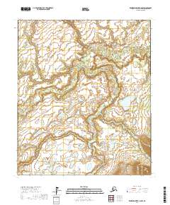
2017 Map of Kantishna River C-5 NW
USGS Topo · Published 2017About this map
The Chitanana River defines the landscape of this Interior Alaska region, winding through a complex network of wetlands and low-lying terrain. This 2017 study illustrates the natural drainage patterns and topographical character of the Yukon-Koyukuk Census Area, where the river's path is the primary geographic focal point. The map is defined by the Public Land Survey System grid, covering portions of T2s R25w, T2s R24w, T2s R23w, T3s R25w, T3s R24w, and T3s R23w. This is a landscape of profound isolation, where the lack of named settlements or man-made infrastructure emphasizes the wilderness character of the subarctic river valley. Historians and researchers can use the detailed contour lines and hydrographic data to analyze the shifting course of the waterway and the seasonal wetlands that dominate the surrounding environment.
Find a feature on this map
7 named features on this map. Tap any name to fly to it.
Don’t see what you’re looking for? This feature index may not catch every label — zoom into the map to look around manually.
Map Details
Editions of this 2017 Kantishna River C-5 NW Map
This is the sole edition of this map. No revisions or reprints were ever made.
Other maps of this area

1948 · Kantishna River
USGS Topo · 1:250,000

1951 · Kantishna River
USGS Topo · 1:250,000

1952 · Kantishna River C-5
USGS Topo · 1:63,360

1952 · Kantishna River C-6
USGS Topo · 1:63,360

1952 · Kantishna River D-5
USGS Topo · 1:63,360

1952 · Kantishna River
USGS Topo · 1:250,000

1952 · Kantishna River D-6
USGS Topo · 1:63,360
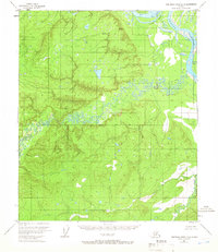
1953 · Kantishna River D-5
USGS Topo · 1:63,360

1964 · Kantishna River
USGS Topo · 1:250,000
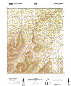
2017 · Kantishna River C-6 SE
USGS Topo · 1:25,000