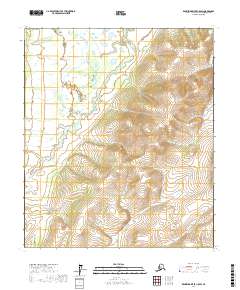
2017 Map of Kantishna River C-5 SW
USGS Topo · Published 2017About this map
Chitanana River dominates the western portion of this topographic study, meandering through the interior of the Yukon-Koyukuk region. The landscape is characterized by its isolation and lack of human infrastructure, defined instead by the Public Land Survey System grids of t3s r25w, t3s r24w, and t4s r24w. The map reveals a transition from the lower riparian corridors along the river to the higher elevation contours in the eastern sections of the quadrangle. These topographical variations provide insight into the drainage patterns of the Alaskan wilderness, where the river serves as the primary geographical anchor for the surrounding township and range divisions. This 2017 edition reflects the state of the terrain as recorded by the U.S. Geological Survey using data from the early 21st century.
Find a feature on this map
9 named features on this map. Tap any name to fly to it.
Don’t see what you’re looking for? This feature index may not catch every label — zoom into the map to look around manually.
Map Details
Editions of this 2017 Kantishna River C-5 SW Map
This is the sole edition of this map. No revisions or reprints were ever made.
Other maps of this area

1948 · Kantishna River
USGS Topo · 1:250,000

1951 · Kantishna River
USGS Topo · 1:250,000

1952 · Kantishna River C-5
USGS Topo · 1:63,360

1952 · Kantishna River C-6
USGS Topo · 1:63,360

1952 · Kantishna River
USGS Topo · 1:250,000

1952 · Kantishna River B-6
USGS Topo · 1:63,360

1952 · Kantishna River B-5
USGS Topo · 1:63,360

1964 · Kantishna River
USGS Topo · 1:250,000
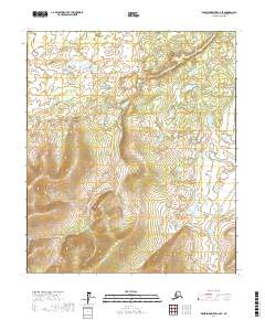
2017 · Kantishna River C-6 SE
USGS Topo · 1:25,000
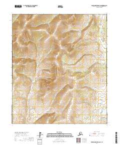
2017 · Kantishna River B-6 NE
USGS Topo · 1:25,000