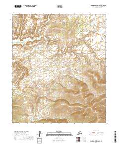
2017 Map of Kantishna River C-6 SW
USGS Topo · Published 2017About this map
Big Mud River dominates the northern reaches of this interior Alaskan landscape, winding through a complex network of elevations and seasonal wetlands. Surveyed in 2017, this portion of the Yukon-Koyukuk Census Area is characterized by its isolation and lack of human development, with no roads or permanent structures recorded on the sheet. The terrain transitions from the low-lying river drainage to higher, densely contoured ridges in the south, reflecting the raw geography of the Kantishna River region. The meticulous detail of the elevation contours illustrates the intricate drainage patterns that define the wilderness of the Central Alaskan interior, a landscape essentially unchanged by modern infrastructure.
Find a feature on this map
7 named features on this map. Tap any name to fly to it.
Don’t see what you’re looking for? This feature index may not catch every label — zoom into the map to look around manually.
Map Details
Editions of this 2017 Kantishna River C-6 SW Map
This is the sole edition of this map. No revisions or reprints were ever made.
Other maps of this area

1948 · Kantishna River
USGS Topo · 1:250,000

1951 · Kantishna River
USGS Topo · 1:250,000

1951 · Ruby
USGS Topo · 1:250,000

1952 · Ruby B-1
USGS Topo · 1:63,360

1952 · Ruby C-1
USGS Topo · 1:63,360

1952 · Kantishna River C-6
USGS Topo · 1:63,360

1952 · Kantishna River
USGS Topo · 1:250,000

1952 · Kantishna River B-6
USGS Topo · 1:63,360

1952 · Ruby
USGS Topo · 1:250,000

1964 · Kantishna River
USGS Topo · 1:250,000