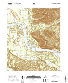
2017 Map of Kantishna River D-1 SE
USGS Topo · Published 2017About this map
The Tanana River dominates this interior Alaska landscape, weaving through a complex network of braids and bars that define the Yukon-Koyukuk region. This 2017 topographic study highlights the shifting nature of the river corridor, where water levels dictate the visibility of numerous islands and gravel deposits. In the southern portion of the sheet, the quiet waters of Iksgiza Lake sit amidst a low-lying wetland environment, contrasting with the more dynamic fluvial systems to the north. The area is divided by the Public Land Survey System boundaries of t1s r13w, t1n r13w, and t2s r13w, illustrating how modern administrative grids are imposed upon a wilderness defined primarily by its hydrology and topographic relief.
Find a feature on this map
8 named features on this map. Tap any name to fly to it.
Don’t see what you’re looking for? This feature index may not catch every label — zoom into the map to look around manually.
Map Details
Editions of this 2017 Kantishna River D-1 SE Map
This is the sole edition of this map. No revisions or reprints were ever made.
Other maps of this area

1948 · Kantishna River
USGS Topo · 1:250,000

1950 · Fairbanks
USGS Topo · 1:250,000

1951 · Kantishna River
USGS Topo · 1:250,000

1951 · Fairbanks
USGS Topo · 1:250,000

1952 · Kantishna River C-1
USGS Topo · 1:63,360

1952 · Kantishna River
USGS Topo · 1:250,000

1952 · Fairbanks
USGS Topo · 1:250,000
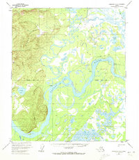
1952 · Fairbanks D-6
USGS Topo · 1:63,360
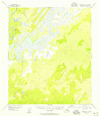
1953 · Fairbanks C-6
USGS Topo · 1:63,360
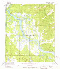
1953 · Kantishna River D-1
USGS Topo · 1:63,360