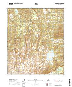
2017 Map of Kantishna River D-2 SW
USGS Topo · Published 2017About this map
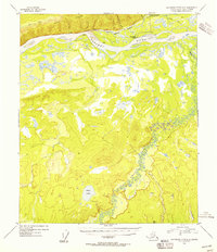
The Zitziana River meanders through the southeastern corner of this Interior Alaska landscape, where low-lying wetlands transition into subtle topographic rises. Centered in the southeastern quadrant, Bear Lake serves as the primary hydrologic landmark of this sub-arctic terrain. This 2017 survey details the complex drainage patterns and elevation contours of the Alaska-Yukon-Koyukuk Census Area, illustrating how the river system defines the local geography. The map is primarily organized by township and range boundaries, including t1s r16w and t2s r17w, reflecting the vast, sparsely developed nature of this region where water bodies and subtle relief changes are the dominant markers of the land.
Find a feature on this map
8 named features on this map. Tap any name to fly to it.
Don’t see what you’re looking for? This feature index may not catch every label — zoom into the map to look around manually.
Map Details
Editions of this 2017 Kantishna River D-2 SW Map
This is the sole edition of this map. No revisions or reprints were ever made.
Other maps of this area

1948 · Kantishna River
USGS Topo · 1:250,000

1951 · Kantishna River
USGS Topo · 1:250,000

1952 · Kantishna River
USGS Topo · 1:250,000

1952 · Kantishna River D-2
USGS Topo · 1:63,360

1952 · Kantishna River D-3
USGS Topo · 1:63,360

1952 · Kantishna River C-3
USGS Topo · 1:63,360
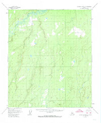
1953 · Kantishna River C-2
USGS Topo · 1:63,360
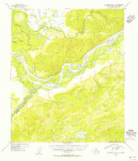
1954 · Kantishna River D-3
USGS Topo · 1:63,360
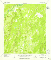
1954 · Kantishna River C-2
USGS Topo · 1:63,360
1954 · Kantishna River D-2
USGS Topo · 1:63,360