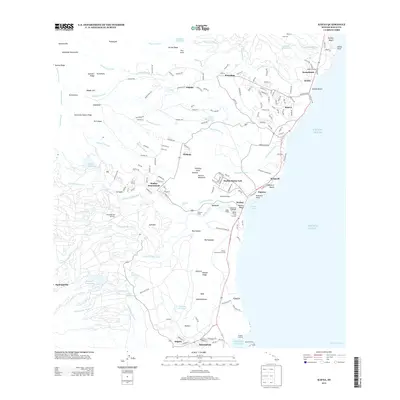
2013 Map of Kapaa
USGS Topo · Published 2013About this map
The sacred and cultural landscape of eastern Kauai is prominently detailed along the lower Wailua River, where a concentration of historic sites includes the Birthstone Heiau and Polihale Heiau. This coastal stretch serves as a gateway to the island's interior, climbing from the Wailua Beach and Waipouli Beach up toward the ridges of the Makaleha Mountains. The prominent ridge of Sleeping Giant stands as a landmark between the Wailua-House Lots and the residential expansion of Wailua Homesteads.
Find a feature on this map
188 named features on this map. Tap any name to fly to it.
Don’t see what you’re looking for? This feature index may not catch every label — zoom into the map to look around manually.
Map Details
Editions of this 2013 Kapaa Map
This is the sole edition of this map. No revisions or reprints were ever made.
Other maps of this area

1954 · Kauai
USGS Topo · 1:250,000

1963 · Anahola
USGS Topo · 1:24,000

1963 · Lihue
USGS Topo · 1:24,000

1963 · Kapaa
USGS Topo · 1:24,000

1963 · Koloa
USGS Topo · 1:24,000

1963 · Hanalei
USGS Topo · 1:24,000

1965 · Waialeale
USGS Topo · 1:24,000

1967 · Kauai
USGS Topo · 1:250,000

1970 · Kauai
USGS Topo · 1:250,000

1978 · Kapaa
USGS Topo · 1:24,000