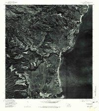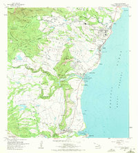
1963 Map of Kapaa
USGS Topo · Published 1971About this map
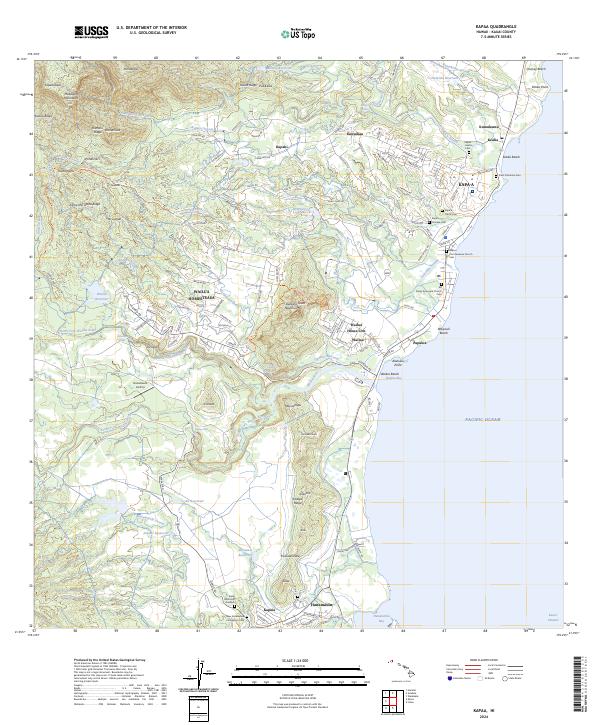
Wailua Bay and the coconut groves of the eastern shore define this mid-century portrait of Kauai’s coastal development and ancient heritage. The landscape is a layered record of Hawaiian history, featuring several sacred sites such as Poliahu Heiau and the Hauola City of Refuge Hikina o ka la Heiau near the mouth of the Wailua River. Inland, the map reveals an intricate network of water management, from the Kapaia Reservoir to the numerous flumes and ditches supporting the Kapaa Homesteads and Waipoli Homesteads. The transition from the old plantation era is visible in the Old Railroad Grade winding toward Ahukini Landing, while the growth of local infrastructure is marked by St Catherines Sch, Kapaa High Sch, and the Agricultural Experiment Station. The topography rises sharply from the coast to the Makaleha Mountains, passing the distinctive profile of the Sleeping Giant ridge.
Find a feature on this map
80 named features on this map. Tap any name to fly to it.
Don’t see what you’re looking for? This feature index may not catch every label — zoom into the map to look around manually.
Map Details
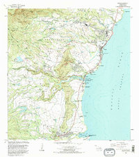
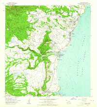
Editions of this 1963 Kapaa Map
2 editions found
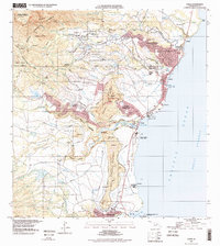
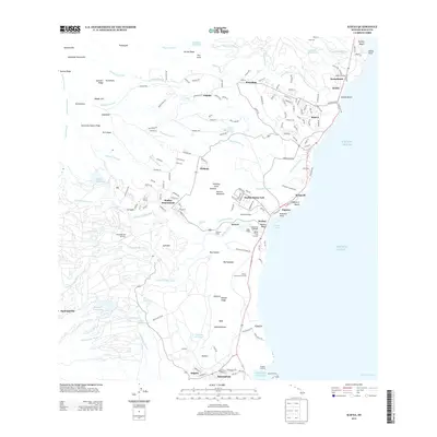
Historical Maps of Hanamaulu Through Time
7 maps found