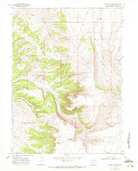
1968 Map of Kappes Canyon
USGS Topo · Published 1972About this map
Quaking Asp Mtn dominates the eastern horizon of this landscape, where the high desert plateaus are deeply incised by a network of dry washes and seasonal flows. Resource extraction and infrastructure define the human footprint during the late 1960s, evidenced by a Coal Mine and a Mine Dump located near the head of Barney Canyon. The presence of several high-pressure pipelines crossing the northern terrain suggests the area's role as a transit corridor for Wyoming’s energy sector.
Find a feature on this map
27 named features on this map. Tap any name to fly to it.
Don’t see what you’re looking for? This feature index may not catch every label — zoom into the map to look around manually.
Map Details
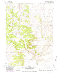
Editions of this 1968 Kappes Canyon Map
2 editions found
Other maps of this area

1908 · Rock Springs
USGS Topo · 1:62,500

1910 · Rock Springs
USGS Topo · 1:62,500

1954 · Rock Springs
USGS Topo · 1:250,000

1957 · Firehole Basin
USGS Topo · 1:62,500

1958 · Rock Springs
USGS Topo · 1:250,000

1961 · Kanda
USGS Topo · 1:24,000

1962 · Rock Springs
USGS Topo · 1:250,000

1966 · Firehole Basin
USGS Topo · 1:62,500
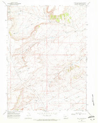
1968 · South Baxter
USGS Topo · 1:24,000
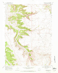
1968 · Earnest Butte
USGS Topo · 1:24,000