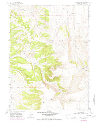
1968 Map of Kappes Canyon
USGS Topo · Published 1978About this map
Quaking Asp Mtn dominates the eastern high ground of this Sweetwater County landscape, where deep drainages like Kappes Canyon and Barney Canyon carve through the high desert. The 1968 terrain reflects a region defined by industrial and natural resource utility, marked by an extensive Pipeline network and evidence of extraction at a Mine and Mine Dump near the head of Barney Canyon. In the lower elevations, the seasonal hydrology of Sand Wash and Little Bitter Creek contrasts with permanent water sources like Ninemile Spring and Mullen Camp Spring. Local geography is further detailed through family or descriptive landmarks such as Antelope Butte and Dugway Walkie Canyon, while the Three Patches Picnic Area suggests a rare pocket of designated recreation amidst the working landscape of canyons and grazing allotments.
Find a feature on this map
22 named features on this map. Tap any name to fly to it.
Don’t see what you’re looking for? This feature index may not catch every label — zoom into the map to look around manually.
Map Details
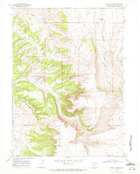
Editions of this 1968 Kappes Canyon Map
2 editions found
Other maps of this area

1908 · Rock Springs
USGS Topo · 1:62,500

1910 · Rock Springs
USGS Topo · 1:62,500

1954 · Rock Springs
USGS Topo · 1:250,000

1957 · Firehole Basin
USGS Topo · 1:62,500

1958 · Rock Springs
USGS Topo · 1:250,000

1961 · Kanda
USGS Topo · 1:24,000

1962 · Rock Springs
USGS Topo · 1:250,000

1966 · Firehole Basin
USGS Topo · 1:62,500
1968 · South Baxter
USGS Topo · 1:24,000
1968 · Earnest Butte
USGS Topo · 1:24,000