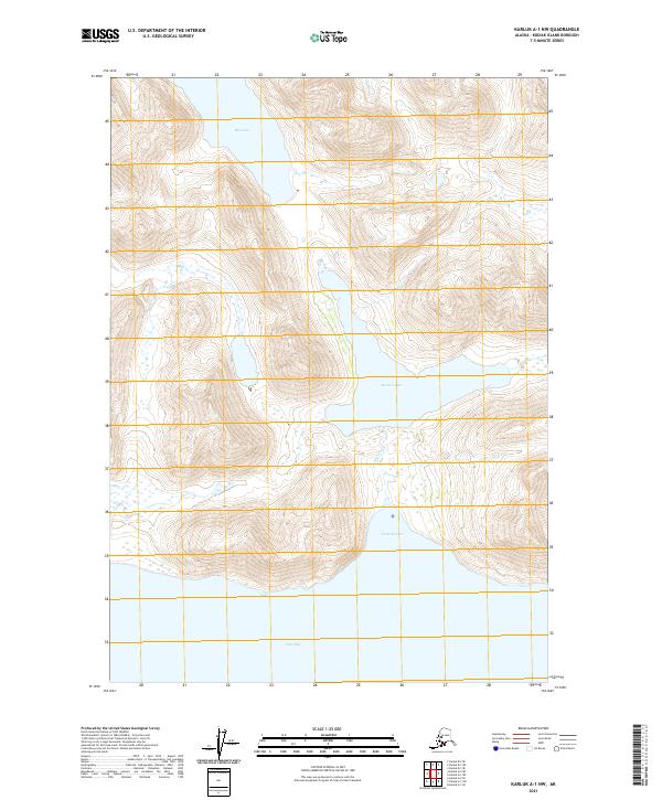
2021 Map of Karluk A-1 NW
USGS Topo · Published 2021About this map
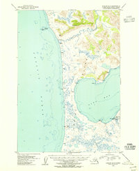
Cannery Cove and the northern reaches of Olga Bay define the coastal character of this Kodiak Island landscape. The map highlights a complex hydrological system where Akalura Lake drains southward via Akalura Cr into the protected waters of the cove. This maritime environment is framed by steep elevations that rise sharply from the shoreline, characteristic of the southwestern Kodiak archipelago. Further north, the isolated Red Lake sits within a high mountain basin, illustrating the glaciated topography of the region. The lack of roads or established settlements emphasizes the wilderness state of the Karluk area, where the primary geographical markers are those used for navigation and resource management, such as the townships of t34s r31w and t35s r31w.
Find a feature on this map
9 named features on this map. Tap any name to fly to it.
Don’t see what you’re looking for? This feature index may not catch every label — zoom into the map to look around manually.
Map Details
Editions of this 2021 Karluk A-1 NW Map
This is the sole edition of this map. No revisions or reprints were ever made.
Other maps of this area

1951 · Karluk
USGS Topo · 1:250,000

1952 · Karluk
USGS Topo · 1:250,000

1952 · Karluk B-2
USGS Topo · 1:63,360

1952 · Karluk B-1
USGS Topo · 1:63,360

1952 · Karluk A-1
USGS Topo · 1:63,360

1952 · Karluk A-2
USGS Topo · 1:63,360
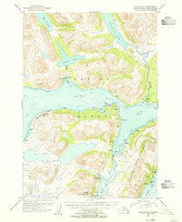
1954 · Karluk A-1
USGS Topo · 1:63,360
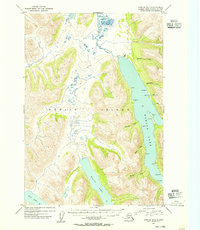
1954 · Karluk B-1
USGS Topo · 1:63,360
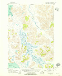
1954 · Karluk B-2
USGS Topo · 1:63,360
1954 · Karluk A-2
USGS Topo · 1:63,360