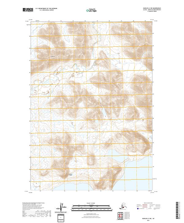
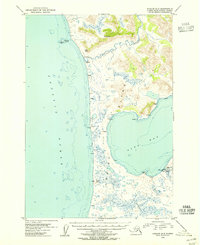
2021 Map of Karluk A-2 NE
USGS Topo · Published 2021About this map
Kodiak Island terrain dominates this coastal Alaskan landscape, where the Ayakulik River winds through a valley characterized by numerous small wetlands and drainage basins. The area is defined by significant elevation changes, rising from the riverbed to peaks like Mt Myrtle. This modern topographical survey depicts a region largely defined by its natural water systems and sharp relief rather than permanent human settlements. The township and range divisions, including t34s r33w and t35s r32w, provide a systematic grid for locating these physical features across the island's interior. Researchers can observe the complex drainage patterns and the way the land rises abruptly from the water-rich lowlands toward the interior summits.
Find a feature on this map
7 named features on this map. Tap any name to fly to it.
Don’t see what you’re looking for? This feature index may not catch every label — zoom into the map to look around manually.
Map Details
Editions of this 2021 Karluk A-2 NE Map
This is the sole edition of this map. No revisions or reprints were ever made.
Other maps of this area

1951 · Karluk
USGS Topo · 1:250,000

1952 · Karluk
USGS Topo · 1:250,000

1952 · Karluk B-2
USGS Topo · 1:63,360

1952 · Karluk B-1
USGS Topo · 1:63,360

1952 · Karluk A-1
USGS Topo · 1:63,360

1952 · Karluk A-2
USGS Topo · 1:63,360
1954 · Karluk A-1
USGS Topo · 1:63,360
1954 · Karluk B-1
USGS Topo · 1:63,360
1954 · Karluk B-2
USGS Topo · 1:63,360
1954 · Karluk A-2
USGS Topo · 1:63,360