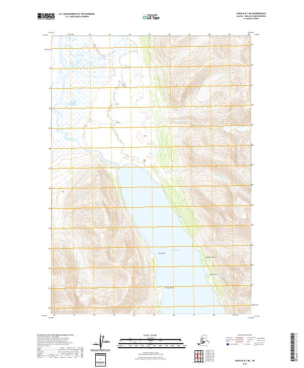
2021 Map of Karluk B-1 NE
USGS Topo · Published 2021About this map
Karluk Lake dominates this portion of Kodiak Island, its northern reaches tapering into the winding Karluk River as it flows toward the northwest. The landscape is defined by the dramatic meeting of water and high ridges, punctuated by several named shoreline landmarks such as Tent Point and Boulder Point. The drainage patterns are clearly visible through numerous tributaries like Moraine Cr and Cottonwood Cr which carve through the surrounding elevations.
Find a feature on this map
14 named features on this map. Tap any name to fly to it.
Don’t see what you’re looking for? This feature index may not catch every label — zoom into the map to look around manually.
Map Details
Editions of this 2021 Karluk B-1 NE Map
This is the sole edition of this map. No revisions or reprints were ever made.
Other maps of this area

1951 · Karluk
USGS Topo · 1:250,000

1952 · Kodiak
USGS Topo · 1:250,000

1952 · Karluk
USGS Topo · 1:250,000

1952 · Kodiak B-6
USGS Topo · 1:63,360

1952 · Karluk B-1
USGS Topo · 1:63,360

1952 · Karluk C-1
USGS Topo · 1:63,360

1952 · Kodiak C-6
USGS Topo · 1:63,360
1954 · Kodiak C-6
USGS Topo · 1:63,360
1954 · Karluk C-1
USGS Topo · 1:63,360
1954 · Karluk B-1
USGS Topo · 1:63,360