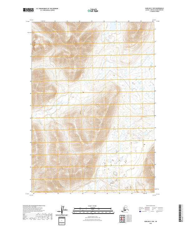
2021 Map of Karluk B-1 NW
USGS Topo · Published 2021About this map
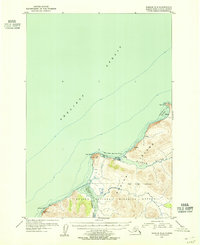
The Sturgeon River carves a winding path through the interior of Kodiak Island, dominating the central landscape of this wilderness area. This 2021 survey, produced by the U.S. Geological Survey, illustrates a complex drainage system characterized by extensive wetland patterns and high elevation relief. The absence of roads or established settlements emphasizes the remote, undeveloped nature of the island’s western reaches, where surveying lines for townships like t31s r31w and t32s r31w provide the only formal human-defined structure over the drainages. For those studying the geography of the Kodiak Archipelago, the map offers detailed elevation contours and hydrography data for the Sturgeon River valley and its surrounding ridges.
Find a feature on this map
6 named features on this map. Tap any name to fly to it.
Don’t see what you’re looking for? This feature index may not catch every label — zoom into the map to look around manually.
Map Details
Editions of this 2021 Karluk B-1 NW Map
This is the sole edition of this map. No revisions or reprints were ever made.
Other maps of this area

1951 · Karluk
USGS Topo · 1:250,000

1952 · Karluk
USGS Topo · 1:250,000

1952 · Karluk C-2
USGS Topo · 1:63,360

1952 · Karluk B-2
USGS Topo · 1:63,360

1952 · Karluk B-1
USGS Topo · 1:63,360

1952 · Karluk C-1
USGS Topo · 1:63,360
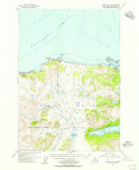
1954 · Karluk C-1
USGS Topo · 1:63,360
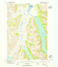
1954 · Karluk B-1
USGS Topo · 1:63,360
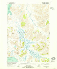
1954 · Karluk B-2
USGS Topo · 1:63,360
1954 · Karluk C-2
USGS Topo · 1:63,360