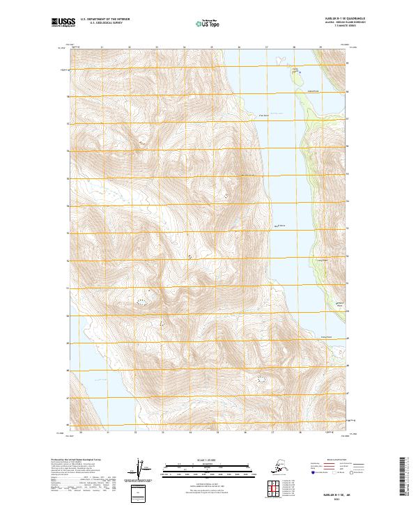
2021 Map of Karluk B-1 SE
USGS Topo · Published 2021About this map
Karluk Lake dominates the eastern portion of this Kodiak Island landscape, serving as a primary focal point for the surrounding hydrologic system. The terrain is defined by dramatic elevation changes, with Mt Strickland rising prominently between the lake and the western drainage basins. This area is characterized by several glacial-fed watercourses including Halfway Cr, Eagle Cr, and Meadow Cr which flow from the higher peaks toward the lake's western shore.
Find a feature on this map
20 named features on this map. Tap any name to fly to it.
Don’t see what you’re looking for? This feature index may not catch every label — zoom into the map to look around manually.
Map Details
Editions of this 2021 Karluk B-1 SE Map
This is the sole edition of this map. No revisions or reprints were ever made.
Other maps of this area

1951 · Karluk
USGS Topo · 1:250,000

1952 · Kodiak
USGS Topo · 1:250,000

1952 · Karluk
USGS Topo · 1:250,000

1952 · Kodiak B-6
USGS Topo · 1:63,360

1952 · Karluk B-1
USGS Topo · 1:63,360

1952 · Karluk A-1
USGS Topo · 1:63,360

1952 · Kodiak A-6
USGS Topo · 1:63,360
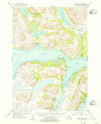
1954 · Karluk A-1
USGS Topo · 1:63,360
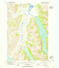
1954 · Karluk B-1
USGS Topo · 1:63,360
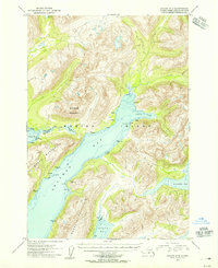
1954 · Kodiak A-6
USGS Topo · 1:63,360