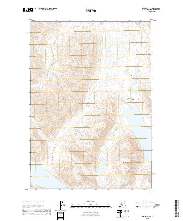
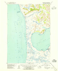
2021 Map of Karluk B-1 SW
USGS Topo · Published 2021About this map
Kodiak Island terrain dominates this survey of the southwestern interior, where the landscape is defined by massive glacial lakes and sharp elevation changes. The eastern portion of the map is anchored by the southern reach of Frazer Lake, while the southwestern corner contains a section of Red Lake. This environment is characterized by steep ridges and complex drainages typical of the island's wilderness, with no road systems or settlements indicated. The map provides a precise layout of the Public Land Survey System, dividing the territory into townships such as t33s r31w and t34s r31w, which are essential for identifying land tracts in this remote part of Alaska.
Find a feature on this map
9 named features on this map. Tap any name to fly to it.
Don’t see what you’re looking for? This feature index may not catch every label — zoom into the map to look around manually.
Map Details
Editions of this 2021 Karluk B-1 SW Map
This is the sole edition of this map. No revisions or reprints were ever made.
Other maps of this area

1951 · Karluk
USGS Topo · 1:250,000

1952 · Karluk
USGS Topo · 1:250,000

1952 · Karluk B-2
USGS Topo · 1:63,360

1952 · Karluk B-1
USGS Topo · 1:63,360

1952 · Karluk A-1
USGS Topo · 1:63,360

1952 · Karluk A-2
USGS Topo · 1:63,360
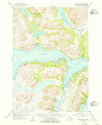
1954 · Karluk A-1
USGS Topo · 1:63,360
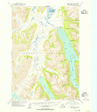
1954 · Karluk B-1
USGS Topo · 1:63,360
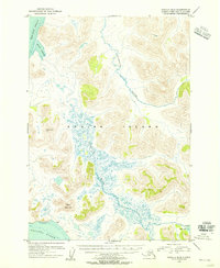
1954 · Karluk B-2
USGS Topo · 1:63,360
1954 · Karluk A-2
USGS Topo · 1:63,360