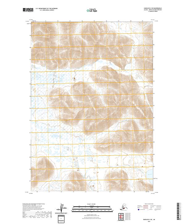
2021 Map of Karluk B-2 SE
USGS Topo · Published 2021About this map
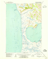
Ayakulik River winds through this southwestern portion of Kodiak Island, dominating a landscape defined by dramatic elevation changes and intricate drainage patterns. The river's meandering course across the western sections of the map highlights the complex hydrologic network of the region, where numerous small ponds and wetland areas congregate in the lower elevations. In the southeast corner, the edge of Red Lake appears, providing a critical geographic anchor near the township boundaries of T34S R32W. This 2021 digital survey illustrates the raw topography of the island's interior, showing how the drainage systems from the surrounding peaks converge toward the primary river channel. The map serves as a primary reference for understanding the physical layout of this remote Alaskan terrain, where natural water features and township lines are the primary markers of location.
Find a feature on this map
8 named features on this map. Tap any name to fly to it.
Don’t see what you’re looking for? This feature index may not catch every label — zoom into the map to look around manually.
Map Details
Editions of this 2021 Karluk B-2 SE Map
This is the sole edition of this map. No revisions or reprints were ever made.
Other maps of this area

1951 · Karluk
USGS Topo · 1:250,000

1952 · Karluk
USGS Topo · 1:250,000

1952 · Karluk B-2
USGS Topo · 1:63,360

1952 · Karluk B-1
USGS Topo · 1:63,360

1952 · Karluk A-1
USGS Topo · 1:63,360

1952 · Karluk A-2
USGS Topo · 1:63,360
1954 · Karluk A-1
USGS Topo · 1:63,360
1954 · Karluk B-1
USGS Topo · 1:63,360
1954 · Karluk B-2
USGS Topo · 1:63,360
1954 · Karluk A-2
USGS Topo · 1:63,360