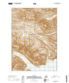
2019 Map of Karluk C-6 NE
USGS Topo · Published 2019About this map
The Aleutian Range dominates this coastal landscape on the edge of the Pacific Ocean, where the boundary between the Lake and Peninsula Borough and Kodiak Island Borough cuts through high ridges and drainage basins. This 2019 survey documents a wilderness defined by its complex hydrology, centered on the significant indentation of Dry Bay and the various waterways that feed it.
Find a feature on this map
16 named features on this map. Tap any name to fly to it.
Don’t see what you’re looking for? This feature index may not catch every label — zoom into the map to look around manually.
Map Details
Editions of this 2019 Karluk C-6 NE Map
This is the sole edition of this map. No revisions or reprints were ever made.
Other maps of this area

1951 · Karluk
USGS Topo · 1:250,000

1951 · Karluk D-6
USGS Topo · 1:63,360
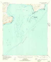
1951 · Karluk C-4 and C-5
USGS Topo · 1:63,360

1951 · Karluk D-5
USGS Topo · 1:63,360
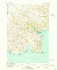
1951 · Karluk C-6
USGS Topo · 1:63,360

1952 · Karluk
USGS Topo · 1:250,000

1964 · Karluk
USGS Topo · 1:250,000
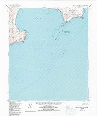
1971 · Karluk C-4 and C-5
USGS Topo · 1:63,360
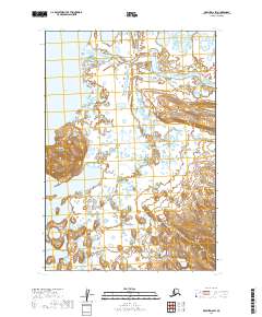
2019 · Karluk D-6 SW
USGS Topo · 1:25,000
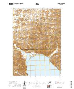
2019 · Karluk D-5 SW
USGS Topo · 1:25,000