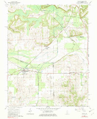
1966 Map of Karnak
USGS Topo · Published 1982About this map
The Cache River lowlands dominate this Illinois landscape, where the confluence of the New York Central, Chicago and Eastern Illinois, and Burlington and Quincy railroads once defined the local economy. In the town of Karnak, the intricate rail sidings and industrial footprints indicate a hub of mid-century activity, while the surrounding wetlands like Little Black Slough and Old Cache River Slough highlight the drainage challenges that shaped regional settlement. Higher ground features like Hairy Hill and George Bluff provided sites for landmarks such as the Cypress Lookout Tower. Genealogists will find a wealth of specific local history in the numerous rural burial grounds and meeting places, including Masonic Cem, Miller Cem, and the Anderson Ch, alongside smaller rural outposts like Boaz and Forman.
Find a feature on this map
43 named features on this map. Tap any name to fly to it.
Don’t see what you’re looking for? This feature index may not catch every label — zoom into the map to look around manually.
Map Details
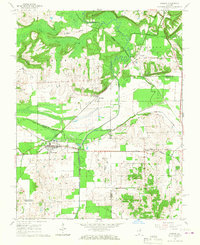
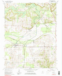
Editions of this 1966 Karnak Map
3 editions found
Other maps of this area

1918 · Vienna
USGS Topo · 1:62,500

1919 · Vienna
USGS Topo · 1:62,500

1920 · Dongola
USGS Topo · 1:62,500

1923 · Dongola
USGS Topo · 1:62,500

1928 · La Center
USGS Topo · 1:62,500

1931 · Cairo
USGS Topo · 1:62,500

1932 · La Center
USGS Topo · 1:62,500

1933 · Cairo
USGS Topo · 1:62,500

1939 · Cairo
USGS Topo · 1:62,500

1942 · Vienna
USGS Topo · 1:62,500