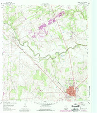
1960 Map of Karnes City
USGS Topo · Published 1987About this map
The winding San Antonio River and its accompanying wetlands, such as Stough Slough and Horseshoe Lake, define this South Texas landscape. In the north, the historic Polish settlement of Panna Maria sits near the banks of Cibolo Creek, while the town of Karnes City serves as the regional hub to the south. The map reflects an economy driven by both transport and extraction, with the Southern Pacific railroad cutting diagonally across the terrain to connect Hobson with the county seat.
Find a feature on this map
28 named features on this map. Tap any name to fly to it.
Don’t see what you’re looking for? This feature index may not catch every label — zoom into the map to look around manually.
Map Details
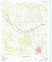
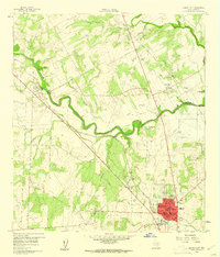
Editions of this 1960 Karnes City Map
Other maps of this area

1920 · Smiley
USGS Topo · 1:125,000

1925 · Tordia No. 1
USGS Topo · 1:48,000

1931 · Falls City
USGS Topo · 1:62,500

1936 · Floresville
USGS Topo · 1:62,500

1953 · Crystal City
USGS Topo · 1:250,000

1953 · Beeville
USGS Topo · 1:250,000

1953 · Seguin
USGS Topo · 1:250,000

1954 · San Antonio
USGS Topo · 1:250,000

1955 · Crystal City
USGS Topo · 1:250,000

1956 · Beeville
USGS Topo · 1:250,000