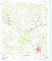
1960 Map of Karnes City
USGS Topo · Published 1960About this map
The San Antonio River and Cibolo Creek define the hydrologic character of this South Texas landscape, where early European settlement patterns remain visible near the river's winding course. The historic community of Panna Maria, widely recognized as a center of Polish-American heritage, is documented here with St Mary Cem and Panna Maria Creek. South of these sites, the local economy and infrastructure of Karnes City appear in detail, showing the layout of the High Sch, the Karnes City Hospital, and the distinct Karnes City Hot Springs. Transport and industry are marked by the Texas and New Orleans railroad line cutting diagonally across the quadrangle, alongside numerous Quarries and Gravel Pit locations that indicate the area's mineral extraction activities during the mid-century period.
Find a feature on this map
23 named features on this map. Tap any name to fly to it.
Don’t see what you’re looking for? This feature index may not catch every label — zoom into the map to look around manually.
Map Details
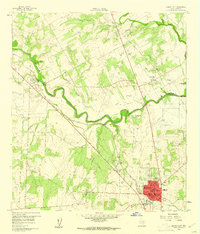
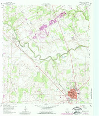
Editions of this 1960 Karnes City Map
Other maps of this area

1920 · Smiley
USGS Topo · 1:125,000

1925 · Tordia No. 1
USGS Topo · 1:48,000

1931 · Falls City
USGS Topo · 1:62,500

1936 · Floresville
USGS Topo · 1:62,500

1953 · Crystal City
USGS Topo · 1:250,000

1953 · Beeville
USGS Topo · 1:250,000

1953 · Seguin
USGS Topo · 1:250,000

1954 · San Antonio
USGS Topo · 1:250,000

1955 · Crystal City
USGS Topo · 1:250,000

1956 · Beeville
USGS Topo · 1:250,000