
1901 Map of Karquines
USGS Topo · Published 1901About this map
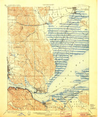
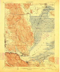
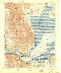
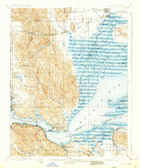
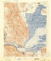
The Karquines Strait acts as a deep-water arterial connecting the inland marshes of Suisun Bay to the open waters of the coast. In this turn-of-the-century landscape, industrial and military hubs like Benicia and Vallejo dominate the shoreline, with the U.S. Arsenal and the U.S. Reservation marking significant federal presence. Across the water, Martinez and Port Costa serve as vital rail-to-water transfer points, where the Southern Pacific R. R. skirts the hills. To the east, the map transitions into a vast network of sloughs and islands, including Grizzly Island and Joice Island, where small outposts like Drawbridge and Teal sit amidst the wetlands. This era shows the early urbanization of Fairfield and Suisun before modern development altered the tidal reaches of Montezuma Slough.
Find a feature on this map
99 named features on this map. Tap any name to fly to it.
Don’t see what you’re looking for? This feature index may not catch every label — zoom into the map to look around manually.
Map Details
Editions of this 1901 Karquines Map
6 editions found
Other maps of this area

1895 · San Francisco
USGS Topo · 1:62,500

1896 · Carquinez Strait
USGS Topo · 1:62,500

1896 · Mt. Diablo
USGS Topo · 1:62,500

1897 · Concord
USGS Topo · 1:62,500

1898 · Karquines
USGS Topo · 1:62,500

1898 · Mt. Diablo
USGS Topo · 1:62,500

1899 · San Francisco
USGS Topo · 1:62,500

1902 · Napa
USGS Topo · 1:125,000

1907 · Antioch
USGS Topo · 1:62,500

1908 · Vacaville
USGS Topo · 1:62,500