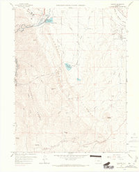
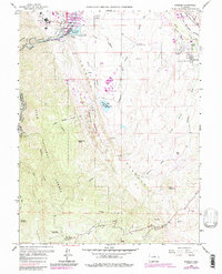
1965 Map of Kassler
USGS Topo · Published 1967About this map
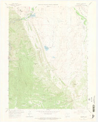
South Platte River carved canyons and irrigation infrastructure dominate this mid-1960s landscape along the Jefferson and Douglas county line. The map captures a critical water management corridor, featuring the High Line Canal, the Aurora Rampart Reservoir, and specialized facilities like the Filtration Plant near Kassler. This era shows the transition of the front range foothills from a rural ranching economy—represented by Willow Creek Ranch and Woodbine Ranch—into a region defined by complex civil engineering. Industrial activity is evident in the Claypits and Gravel Pit sites scattered near the Hogback. To the east, the rail-oriented settlement of Louviers sits along the Denver and Rio Grande Western and Atchison Topeka & Santa Fe lines, highlighting the importance of the Plum Creek valley for regional transportation.
Find a feature on this map
45 named features on this map. Tap any name to fly to it.
Don’t see what you’re looking for? This feature index may not catch every label — zoom into the map to look around manually.
Map Details
Editions of this 1965 Kassler Map
9 editions found
Other maps of this area

1890 · East Denver
USGS Topo · 1:125,000

1893 · Platte Canyon
USGS Topo · 1:125,000

1894 · Castle Rock
USGS Topo · 1:125,000

1899 · West Denver
USGS Topo · 1:125,000

1913 · Castle Rock
USGS Topo · 1:125,000

1935 · East Denver Nos. 3 and 4
USGS Topo · 1:48,000

1940 · Castle Rock
USGS Topo · 1:62,500

1942 · Highland Ranch
USGS Topo · 1:31,680

1942 · Littleton
USGS Topo · 1:31,680

1945 · Castle Rock
USGS Topo · 1:62,500