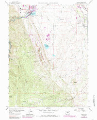
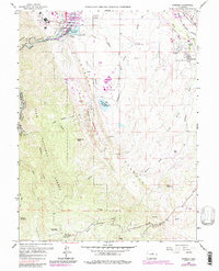
1965 Map of Kassler
USGS Topo · Published 1985About this map
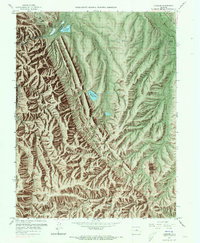
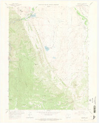
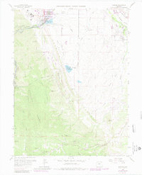
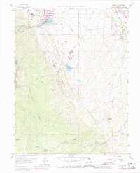
South Platte River waters dominate this 1960s landscape, where the transition from industrial utility to state recreation is clearly visible. The infrastructure of the Municipal Ditch and High Line Canal services the region's growth, supporting facilities like the Filtration Plant near Kassler. To the east, the Atchison Topeka & Santa Fe and Denver and Rio Grande Western railroads track through Louviers, highlighting the area's logistical importance.
Find a feature on this map
47 named features on this map. Tap any name to fly to it.
Don’t see what you’re looking for? This feature index may not catch every label — zoom into the map to look around manually.
Map Details
Editions of this 1965 Kassler Map
9 editions found
Other maps of this area

1890 · East Denver
USGS Topo · 1:125,000

1893 · Platte Canyon
USGS Topo · 1:125,000

1894 · Castle Rock
USGS Topo · 1:125,000

1899 · West Denver
USGS Topo · 1:125,000

1913 · Castle Rock
USGS Topo · 1:125,000

1935 · East Denver Nos. 3 and 4
USGS Topo · 1:48,000

1940 · Castle Rock
USGS Topo · 1:62,500

1942 · Highland Ranch
USGS Topo · 1:31,680

1942 · Littleton
USGS Topo · 1:31,680

1945 · Castle Rock
USGS Topo · 1:62,500