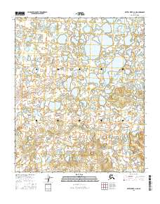
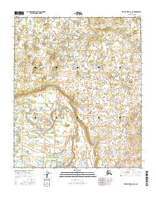
2016 Map of Kateel River A-2 NE
USGS Topo · Published 2016About this map
The Natlaratlen River winds through the southern portion of this interior landscape, providing the primary drainage for an area defined by low-lying wetlands and countless small tundra ponds. This 2016 survey shows the transition between the lake-studded plains in the north and the increasingly undulating terrain to the south as the river makes its way through the Yukon-Koyukuk region. The map provides a look at the hydrography of the Alaskan wilderness within the township boundaries of t3s r10e, t3s r11e, t4s r10e, and t4s r11e. Researchers and geographers can trace the complex network of unnamed lakes and minor drainages that feed into the main channel of the Natlaratlen River.
Find a feature on this map
5 named features on this map. Tap any name to fly to it.
Don’t see what you’re looking for? This feature index may not catch every label — zoom into the map to look around manually.
Map Details
Editions of this 2016 Kateel River A-2 NE Map
This is the sole edition of this map. No revisions or reprints were ever made.
Other maps of this area

1951 · Kateel River
USGS Topo · 1:250,000

1952 · Kateel River A-2
USGS Topo · 1:63,360

1952 · Kateel River A-1
USGS Topo · 1:63,360

1952 · Kateel River B-1
USGS Topo · 1:63,360

1952 · Kateel River B-2
USGS Topo · 1:63,360

1955 · Kateel River
USGS Topo · 1:250,000
2016 · Kateel River B-1 SW
USGS Topo · 1:25,000
2016 · Kateel River A-2 NW
USGS Topo · 1:25,000
2016 · Kateel River A-2 SE
USGS Topo · 1:25,000
2016 · Kateel River A-2 SW
USGS Topo · 1:25,000