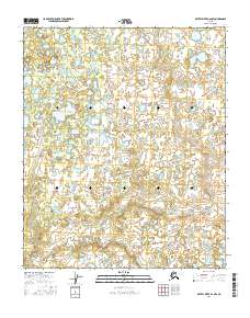
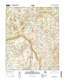
2016 Map of Kateel River A-2 NW
USGS Topo · Published 2016About this map
The Natlaratlen River winds across the southern reaches of this landscape, representing the primary drainage for an area defined by low-lying wetlands and scattered ponds. Located within the Yukon-Koyukuk region, this terrain is structured by the rectangular grid of the Public Land Survey System, specifically across T3s R9e, T3s R10e, T4s R9e, and T4s R10e. The absence of developed roads or permanent settlements underscores the wilderness character of the Kateel River basin in the early 21st century. Instead, the geography is a complex pattern of hydrologic features, where the river's path is the most significant landmark for navigation and environmental study in this interior Alaskan quadrangle.
Find a feature on this map
5 named features on this map. Tap any name to fly to it.
Don’t see what you’re looking for? This feature index may not catch every label — zoom into the map to look around manually.
Map Details
Editions of this 2016 Kateel River A-2 NW Map
This is the sole edition of this map. No revisions or reprints were ever made.
Other maps of this area

1951 · Kateel River
USGS Topo · 1:250,000

1952 · Kateel River A-2
USGS Topo · 1:63,360

1952 · Kateel River A-3
USGS Topo · 1:63,360

1952 · Kateel River B-3
USGS Topo · 1:63,360

1952 · Kateel River B-2
USGS Topo · 1:63,360

1955 · Kateel River
USGS Topo · 1:250,000
2016 · Kateel River A-3 SE
USGS Topo · 1:25,000
2016 · Kateel River A-2 SE
USGS Topo · 1:25,000
2016 · Kateel River B-3 SE
USGS Topo · 1:25,000
2016 · Kateel River A-2 SW
USGS Topo · 1:25,000