
2010 Map of Kaufman
USGS Topo · Published 2010About this map
Kaufman serves as the central hub of this North Texas region, where a dense grid of streets meets the crossing of major thoroughfares and rural routes. The landscape is heavily shaped by water management, defined by numerous dams and reservoirs like the Kaufman City Lakes and the Kings Creek Watershed Site Number Sixtyone. These features, along with several Soil Conservation Service sites, indicate a landscape engineered to manage the flow of the Kings Creek and Big Brushy Creek systems. Smaller outlying communities like Oak Grove and Jiba maintain their distinct identities amidst the agricultural expanses. Aviation history is present through local facilities such as Moore Airport and Thompson Ranch Airport, while the layout of Old Hwy 175 traces the evolution of regional transportation before modern highway bypasses altered the local traffic patterns.
Find a feature on this map
73 named features on this map. Tap any name to fly to it.
Don’t see what you’re looking for? This feature index may not catch every label — zoom into the map to look around manually.
Map Details
Editions of this 2010 Kaufman Map
This is the sole edition of this map. No revisions or reprints were ever made.
Other maps of this area

1920 · Kemp
USGS Topo · 1:62,500

1954 · Dallas
USGS Topo · 1:250,000

1956 · Kaufman
USGS Topo · 1:62,500

1957 · Kemp
USGS Topo · 1:62,500

1958 · Dallas
USGS Topo · 1:250,000

1960 · Grays Prairie
USGS Topo · 1:24,000

1961 · Kemp
USGS Topo · 1:24,000

1962 · Elmo
USGS Topo · 1:24,000
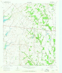
1962 · Ola
USGS Topo · 1:24,000
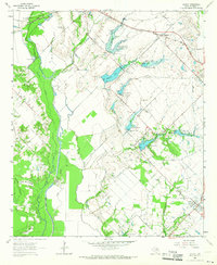
1962 · Scurry
USGS Topo · 1:24,000