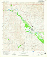
1964 Map of Kearny
USGS Topo · Published 1965About this map
The Gila River corridor serves as the primary artery for settlement and industry in this mid-1960s Arizona landscape, flanked by the Tortilla Mountains and the Dripping Spring Mts. The planned community of Kearny is shown in detail, including its residential street grid from Ivanhoe Rd to Emery Dr, the Ray District High Sch, and a local Hospital. This era highlights the area's transition from older riverfront settlements like Kelvin and Riverside to the modern mining-support town of Kearny. Transport and extraction infrastructure define the geography, with the Southern Pacific railroad hugging the river banks to serve the nearby mineral wealth. Evidence of the region's copper-mining legacy is found at the Sultan (Arizona) Mine and Hackberry Mine, while the Kelvin Cem and a lone Wooden Cross mark the earlier human footprint in this arid terrain.
Find a feature on this map
42 named features on this map. Tap any name to fly to it.
Don’t see what you’re looking for? This feature index may not catch every label — zoom into the map to look around manually.
Map Details
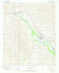
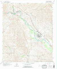
Editions of this 1964 Kearny Map
Other maps of this area

1900 · Florence
USGS Topo · 1:125,000

1902 · Florence
USGS Topo · 1:125,000

1910 · Ray
USGS Topo · 1:62,500

1911 · Winkelman
USGS Topo · 1:125,000

1913 · Winkelman
USGS Topo · 1:125,000

1934 · Newman Peak
USGS Topo · 1:125,000

1949 · Crozier Peak
USGS Topo · 1:24,000

1949 · Winkelman
USGS Topo · 1:24,000

1949 · Winkelman
USGS Topo · 1:62,500
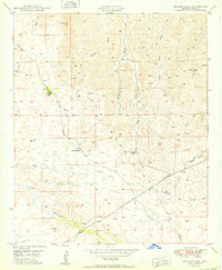
1950 · Crozier Peak
USGS Topo · 1:24,000