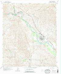
1964 Map of Kearny
USGS Topo · Published 1973About this map
Kelvin and Riverside sit at a sharp bend in the Gila River, serving as a hub for the industrial and mining activity that shaped this part of Pinal County in the early 1960s. The Southern Pacific Railroad parallels the river, connecting these settlements to Ray Junction and the larger town of Kearny, which displays a dense residential grid, a Hospital, and the Ray District High Sch.
Find a feature on this map
30 named features on this map. Tap any name to fly to it.
Don’t see what you’re looking for? This feature index may not catch every label — zoom into the map to look around manually.
Map Details
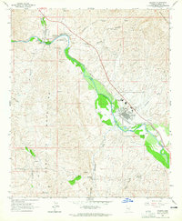
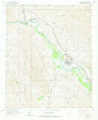
Editions of this 1964 Kearny Map
Other maps of this area

1900 · Florence
USGS Topo · 1:125,000

1902 · Florence
USGS Topo · 1:125,000

1910 · Ray
USGS Topo · 1:62,500

1911 · Winkelman
USGS Topo · 1:125,000

1913 · Winkelman
USGS Topo · 1:125,000

1934 · Newman Peak
USGS Topo · 1:125,000

1949 · Crozier Peak
USGS Topo · 1:24,000

1949 · Winkelman
USGS Topo · 1:24,000

1949 · Winkelman
USGS Topo · 1:62,500
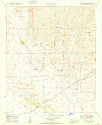
1950 · Crozier Peak
USGS Topo · 1:24,000