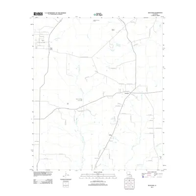
2012 Map of Keatchie
USGS Topo · Published 2012About this map
Keatchie serves as the primary hub in this corner of DeSoto Parish, where local life is defined by a dense network of parish roads and the serpentine courses of Bushneck Bayou and Bayou Castor. The landscape reflects a mix of public infrastructure and rural industry, featuring the Caddo Correctional Institute to the north and the expansive Bethany Longstreet Oil and Gas Field further west.
Find a feature on this map
61 named features on this map. Tap any name to fly to it.
Don’t see what you’re looking for? This feature index may not catch every label — zoom into the map to look around manually.
Map Details
Editions of this 2012 Keatchie Map
This is the sole edition of this map. No revisions or reprints were ever made.
Other maps of this area

1943 · Waskom
USGS Topo · 1:62,500

1945 · Grand Cane
USGS Topo · 1:62,500

1945 · Waskom
USGS Topo · 1:62,500

1945 · Greenwood
USGS Topo · 1:62,500

1945 · Socagee Bayou
USGS Topo · 1:62,500

1955 · Shreveport
USGS Topo · 1:250,000

1955 · Greenwood
USGS Topo · 1:62,500

1956 · Shreveport
USGS Topo · 1:250,000

1956 · Tyler
USGS Topo · 1:250,000

1956 · Deadwood
USGS Topo · 1:62,500