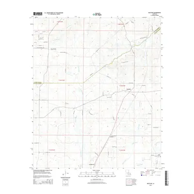
2015 Map of Keatchie
USGS Topo · Published 2015About this map
Keatchie and Longstreet anchor this portion of the Louisiana-Texas borderlands, where the landscape is defined by the winding paths of Cypress Bayou, Bushneck Bayou, and Bayou Castor. The road network reflects a history of rural commerce and transit, with specific local routes like Depot Rd in Keatchie and the Keatchie Spur indicating the importance of transportation to these small communities. Family history is well-preserved through several burial sites, including Fullalove Cem near Four Forks, the Gatlin Cem situated among the timbered bayous, and Flower Hill Cem further south.
Find a feature on this map
62 named features on this map. Tap any name to fly to it.
Don’t see what you’re looking for? This feature index may not catch every label — zoom into the map to look around manually.
Map Details
Editions of this 2015 Keatchie Map
This is the sole edition of this map. No revisions or reprints were ever made.
Other maps of this area

1943 · Waskom
USGS Topo · 1:62,500

1945 · Grand Cane
USGS Topo · 1:62,500

1945 · Waskom
USGS Topo · 1:62,500

1945 · Greenwood
USGS Topo · 1:62,500

1945 · Socagee Bayou
USGS Topo · 1:62,500

1955 · Shreveport
USGS Topo · 1:250,000

1955 · Greenwood
USGS Topo · 1:62,500

1956 · Shreveport
USGS Topo · 1:250,000

1956 · Tyler
USGS Topo · 1:250,000

1956 · Deadwood
USGS Topo · 1:62,500