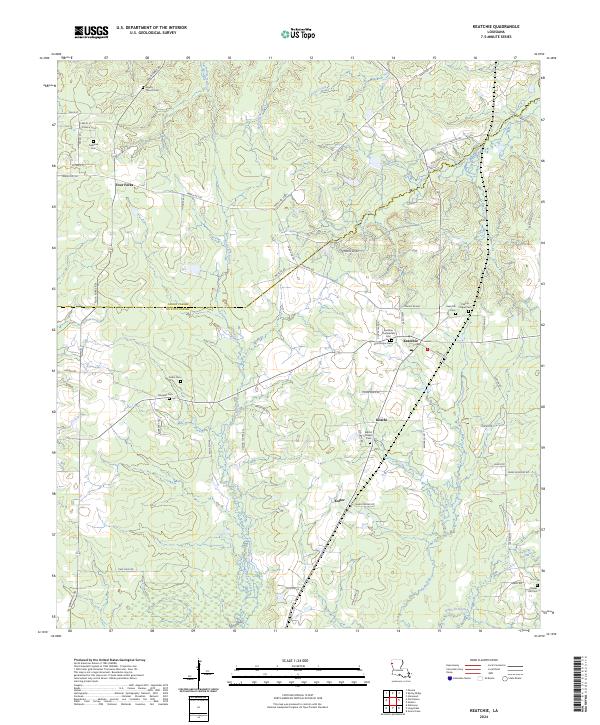
2024 Map of Keatchie
USGS Topo · Published 2024About this map
Keatchie and its surrounding countryside along the Caddo and De Soto Parish line appear here as a landscape deeply defined by its local heritage and cemeteries. The area is notable for its numerous burial grounds, including the Keatchie Confederate Cem and Charity Chapel Cem, which anchor the various rural communities. The map captures a topography shaped by winding watercourses such as Cypress Bayou, Spring Branch, and Rochelle Bayou, interspersed with family-named routes like Hanna Tucker Rd and McCann Rd. In the north, the small settlement of Four Forks sits near the Liberty Church Cem, illustrating the classic Southern pattern of small crossroad communities clustered around parish churches and family plots. The layout of roads like Depot Rd near the town center suggests the historic influence of the rail lines that once connected these timber and agricultural centers.
Find a feature on this map
75 named features on this map. Tap any name to fly to it.
Don’t see what you’re looking for? This feature index may not catch every label — zoom into the map to look around manually.
Map Details
Editions of this 2024 Keatchie Map
This is the sole edition of this map. No revisions or reprints were ever made.
Other maps of this area

1943 · Waskom
USGS Topo · 1:62,500

1945 · Grand Cane
USGS Topo · 1:62,500

1945 · Waskom
USGS Topo · 1:62,500

1945 · Greenwood
USGS Topo · 1:62,500

1945 · Socagee Bayou
USGS Topo · 1:62,500

1955 · Shreveport
USGS Topo · 1:250,000

1955 · Greenwood
USGS Topo · 1:62,500

1956 · Shreveport
USGS Topo · 1:250,000

1956 · Tyler
USGS Topo · 1:250,000

1956 · Deadwood
USGS Topo · 1:62,500