
1962 Map of Keenan
USGS Topo · Published 1963About this map
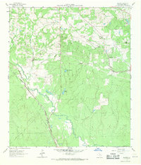
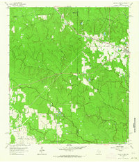
The Gulf Colorado and Santa Fe railroad cuts through the center of this Montgomery County landscape, anchoring a network of small family cemeteries and rural congregations in the early 1960s. The map reveals a transition between timbered tracts and specialized agriculture, evidenced by several Gravel Pits and the winding course of Lake Creek in the southern half. Small settlements like Keenan and Karen appear as quiet rail stops, while the presence of family-named landmarks such as Rabon Cartwright Cem and Yell Cem provides significant data for genealogical research. Water management and recreation are visible through features like Lake Seventyseven and Johnson Lake, which sit amidst the rolling terrain of the San Jacinto River Authority's jurisdiction. The interplay of the Chicago Rock Island and Pacific line and the Keenan Cutoff road illustrates the area's mid-century transportation patterns.
Find a feature on this map
34 named features on this map. Tap any name to fly to it.
Don’t see what you’re looking for? This feature index may not catch every label — zoom into the map to look around manually.
Map Details
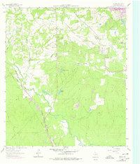
Editions of this 1962 Keenan Map
Other maps of this area

1954 · Beaumont
USGS Topo · 1:250,000

1957 · Beaumont
USGS Topo · 1:250,000

1958 · Cowl Spur
USGS Topo · 1:24,000

1958 · Lake Paula
USGS Topo · 1:24,000

1959 · Montgomery
USGS Topo · 1:24,000
1962 · Oklahoma
USGS Topo · 1:24,000

1962 · Dacus
USGS Topo · 1:24,000

1962 · Plantersville
USGS Topo · 1:24,000
1962 · Magnolia East
USGS Topo · 1:24,000
1962 · Magnolia West
USGS Topo · 1:24,000