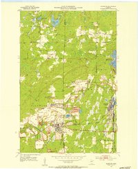
1952 Map of Keewatin
USGS Topo · Published 1954About this map
Iron ore extraction dominates the landscape of the Mesabi Range in the early 1950s, where massive pits and extensive Mine Dumps surround the hub of Keewatin. The infrastructure of the Mining Railroad and the Great Northern rail lines weave through the terrain, connecting industrial sites like the Mesabi Chief Mine, Stevenson Mine, and Mississippi No 1 Mine. While mining activity is concentrated in the southern half of the quadrangle, the northern reaches maintain a natural character with numerous water bodies including Libby Lake, Horsehead Lake, and Long Lake. This map captures a significant period of industrial intensity, detailing the proximity of residential settlements like Kelly Lake and Stevenson to the large-scale Tailings Ponds and open pits that defined the regional economy and geography.
Find a feature on this map
36 named features on this map. Tap any name to fly to it.
Don’t see what you’re looking for? This feature index may not catch every label — zoom into the map to look around manually.
Map Details
Editions of this 1952 Keewatin Map
4 editions found
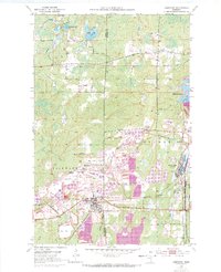
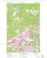
Other maps of this area

1951 · Hibbing
USGS Topo · 1:24,000

1952 · Keewatin
USGS Topo · 1:24,000

1952 · Riley
USGS Topo · 1:24,000

1952 · Nashwauk
USGS Topo · 1:24,000

1952 · Silica
USGS Topo · 1:24,000

1952 · Pengilly
USGS Topo · 1:24,000

1954 · Hibbing
USGS Topo · 1:250,000

1955 · Dewey Lake
USGS Topo · 1:24,000

1957 · Hibbing
USGS Topo · 1:250,000

1957 · Hibbing
USGS Topo · 1:24,000