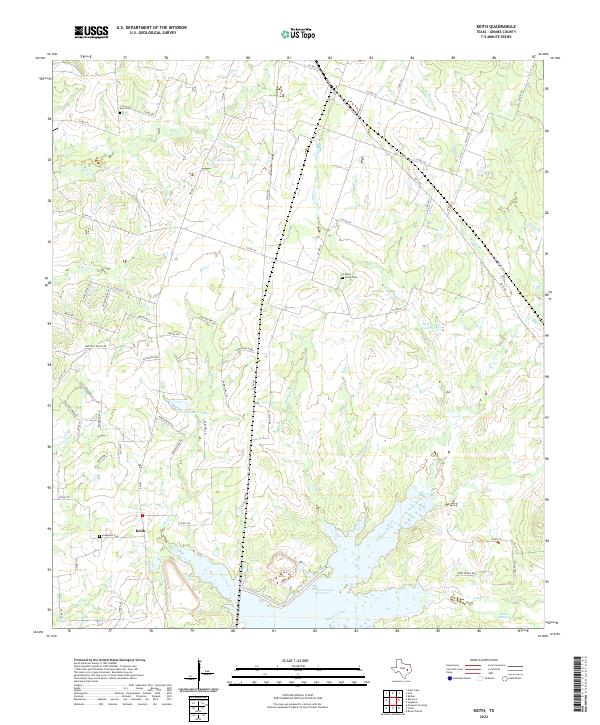
2022 Map of Keith
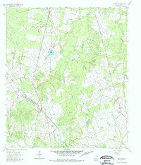
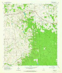
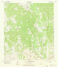
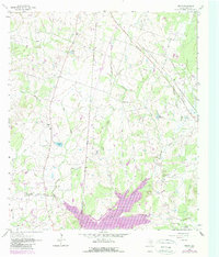
USGS Topo · Published 2022This historical map portrays the area of Keith in 2022, primarily covering Grimes County. Featuring a scale of 1:24000, this map provides a highly detailed snapshot of the terrain, roads, buildings, counties, and historical landmarks in the Keith region at the time. Published in 2022, it is the sole known edition of this map.
Map Details
Editions of this 2022 Keith Map
This is the sole edition of this map. No revisions or reprints were ever made.
Historical Maps of Grimes County Through Time
15 maps found
1956 Carlos
Grimes County, TX
1958 Courtney
Grimes County, TX
1960 Carlos
Grimes County, TX
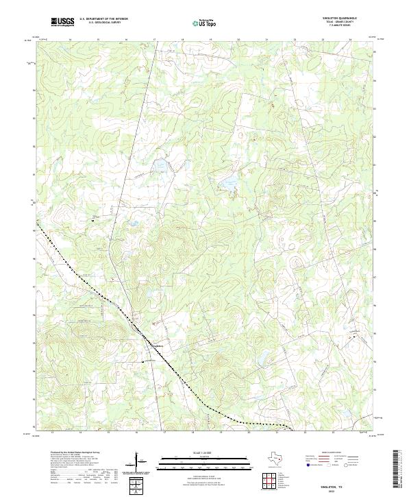
1961 Singleton
Grimes County, TX
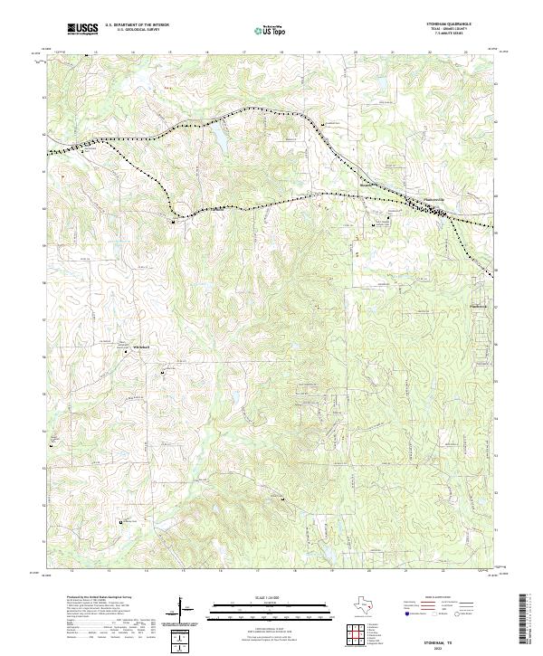
1961 Stoneham
Grimes County, TX
1962 Dacus
Grimes County, TX
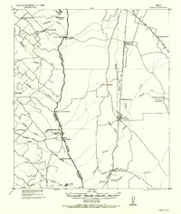
1962 Keith
Grimes County, TX
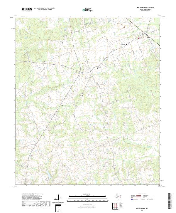
1962 Roans Prairie
Grimes County, TX
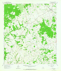
2022 Carlos
Grimes County, TX
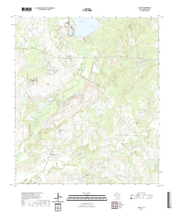
2022 Courtney
Grimes County, TX
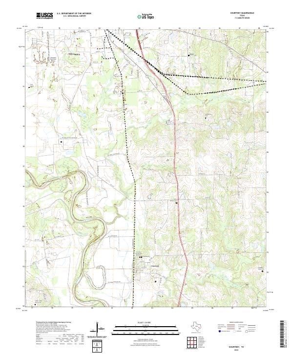
2022 Dacus
Grimes County, TX
2022 Keith
Grimes County, TX
2022 Roans Prairie
Grimes County, TX
2022 Singleton
Grimes County, TX
2022 Stoneham
Grimes County, TX