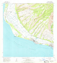
1963 Map of Kekaha
USGS Topo · Published 1969About this map
The coastal plains and dramatic interior ridges of western Kauai define this 1963 survey, where the sugar industry's infrastructure meets mid-century military installations. The settlement of Kekaha serves as the focal point, situated between the Pacific Ocean and a complex network of irrigation systems including the Kekaha Ditch and Waimea Ditch. These waterworks, along with numerous pumping stations and shafts like the Kekaha Shaft, support the agricultural land surrounding Kaunalewa Camp. Along the shoreline, maritime and defense activities are marked by Kikiaola Harbor and the Kekaha Military Reservation.
Find a feature on this map
73 named features on this map. Tap any name to fly to it.
Don’t see what you’re looking for? This feature index may not catch every label — zoom into the map to look around manually.
Map Details
Editions of this 1963 Kekaha Map
2 editions found
Other maps of this area

1954 · Kauai
USGS Topo · 1:250,000

1963 · Kekaha
USGS Topo · 1:24,000

1963 · Hanapepe
USGS Topo · 1:24,000

1965 · Waimea Canyon
USGS Topo · 1:24,000

1965 · Makaha Point
USGS Topo · 1:24,000

1967 · Kauai
USGS Topo · 1:250,000

1970 · Kauai
USGS Topo · 1:250,000
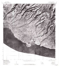
1977 · Hanapepe
USGS Topo · 1:24,000
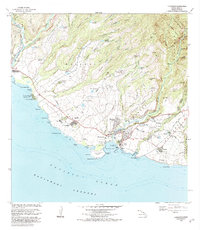
1983 · Hanapepe
USGS Topo · 1:24,000
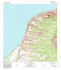
1983 · Makaha Point
USGS Topo · 1:24,000