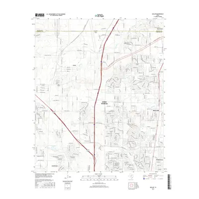
2016 Map of Keller
USGS Topo · Published 2016About this map
Sweets Chapel Cem remains a quiet landmark in the northern reaches of this landscape, situated near the Denton and Tarrant County line. The area showcases a transition from traditional ranching lands, suggested by names like Lazy River Ranch Rd and Bandera Ranch Rd, to the modern infrastructure of the Fort Worth Alliance Airport vicinity. The map documents the extensive transportation network supporting the region's growth, including Alliance Gateway Fwy and Intermodal Pkwy, which serve as industrial backbones for the nearby communities. Waterways such as Henrietta Cr, Big Bear Cr, and Buffalo Cr thread through the expanding residential footprints of Keller, Haslet, and Saginaw. To the south, Loughridge Lake sits near the developing neighborhoods of Blue Mound, illustrating how the suburban frontier of Fort Worth has moved to meet historical settlements and natural drainage basins.
Find a feature on this map
285 named features on this map. Tap any name to fly to it.
Don’t see what you’re looking for? This feature index may not catch every label — zoom into the map to look around manually.
Map Details
Editions of this 2016 Keller Map
This is the sole edition of this map. No revisions or reprints were ever made.
Other maps of this area

1894 · Fort Worth
USGS Topo · 1:125,000

1931 · Grapevine
USGS Topo · 1:62,500

1954 · Dallas
USGS Topo · 1:250,000

1954 · Sherman
USGS Topo · 1:250,000

1955 · Haltom City
USGS Topo · 1:24,000

1955 · Avondale
USGS Topo · 1:24,000

1955 · Keller
USGS Topo · 1:24,000

1955 · Lake Worth
USGS Topo · 1:24,000

1955 · Haltom City
USGS Topo · 1:62,500

1958 · Dallas
USGS Topo · 1:250,000