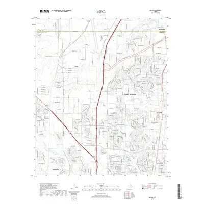
2019 Map of Keller
USGS Topo · Published 2019About this map
Fort Worth and its rapidly expanding northern suburbs are captured in this late 2010s survey, showing the complex web of logistics and residential growth between Keller and Saginaw. The landscape is defined by its transition from prairie drainage to high-density infrastructure, centered on the massive North Fwy corridor. Historically significant sites like Sweets Chapel Cem remain as landmarks of the area's rural past, now surrounded by industrial developments and transport hubs like Intermodal Pkwy. Natural features like Big Bear Cr and Big Fossil Cr wind through modern subdivisions, while Loughridge Lake provides a notable water feature near the city limits. This map documents a period of intense urbanization, where older rural names like Haslet and Blue Mound are fully integrated into the metropolitan sprawl of Tarrant County.
Find a feature on this map
319 named features on this map. Tap any name to fly to it.
Don’t see what you’re looking for? This feature index may not catch every label — zoom into the map to look around manually.
Map Details
Editions of this 2019 Keller Map
This is the sole edition of this map. No revisions or reprints were ever made.
Other maps of this area

1894 · Fort Worth
USGS Topo · 1:125,000

1931 · Grapevine
USGS Topo · 1:62,500

1954 · Dallas
USGS Topo · 1:250,000

1954 · Sherman
USGS Topo · 1:250,000

1955 · Haltom City
USGS Topo · 1:24,000

1955 · Avondale
USGS Topo · 1:24,000

1955 · Keller
USGS Topo · 1:24,000

1955 · Lake Worth
USGS Topo · 1:24,000

1955 · Haltom City
USGS Topo · 1:62,500

1958 · Dallas
USGS Topo · 1:250,000