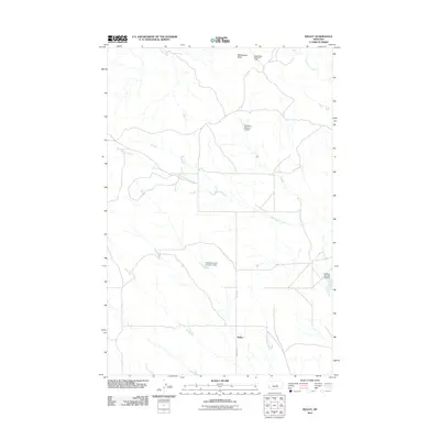
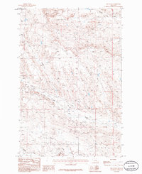
2011 Map of Kelley
USGS Topo · Published 2011About this map
Kelley serves as the central point of this high-plains landscape, where the intersection of Kelley Rd and Fourmile Rd defines the local transportation hub. The surrounding terrain is characterized by a network of water management features, including the Seminary Number 10 Dam, Howard Coulee Number 1 Dam, and Goffena Number 4 Dam, which supported ranching and agriculture in this arid region of Petroleum County. Natural drainage is dictated by the meandering path of Mud Springs Creek and the smaller Maginnis Creek in the northeast.
Find a feature on this map
10 named features on this map. Tap any name to fly to it.
Don’t see what you’re looking for? This feature index may not catch every label — zoom into the map to look around manually.
Map Details
Editions of this 2011 Kelley Map
This is the sole edition of this map. No revisions or reprints were ever made.
Other maps of this area

1954 · Roundup
USGS Topo · 1:250,000

1958 · Roundup
USGS Topo · 1:250,000

1963 · Kelley
USGS Topo · 1:24,000

1963 · Petrolia Lake
USGS Topo · 1:24,000
1963 · Akers Ranch
USGS Topo · 1:24,000

1963 · Musselshell NW
USGS Topo · 1:24,000
1963 · Breed Spring
USGS Topo · 1:24,000
1963 · Mud Spring
USGS Topo · 1:24,000

1986 · Crowley Dam
USGS Topo · 1:24,000
1986 · Jim Coulee
USGS Topo · 1:24,000