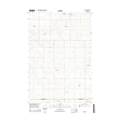
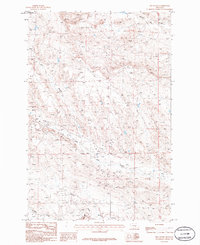
2014 Map of Kelley
USGS Topo · Published 2014About this map
The settlement of Kelley serves as the focal point for this 2014 survey of the central Montana high plains. Situated along the boundary of Petroleum and Musselshell Counties, the landscape is defined by the drainage patterns of Mud Springs Creek and the intricate draws of Johnson Coulee and Salt Sage Coulee. The presence of the Rattlesnake Butte Oil Field in the north, near the prominent Rattlesnake Butte, underscores the region's long-standing reliance on resource extraction. The road network, including Kelly Road and Fourmile Road, connects the dispersed homesteads and industrial sites within this wide-open terrain, following the natural contours of the land in a region defined by its sparse settlement and significant geological relief.
Find a feature on this map
17 named features on this map. Tap any name to fly to it.
Don’t see what you’re looking for? This feature index may not catch every label — zoom into the map to look around manually.
Map Details
Editions of this 2014 Kelley Map
This is the sole edition of this map. No revisions or reprints were ever made.
Other maps of this area

1954 · Roundup
USGS Topo · 1:250,000

1958 · Roundup
USGS Topo · 1:250,000

1963 · Kelley
USGS Topo · 1:24,000

1963 · Petrolia Lake
USGS Topo · 1:24,000
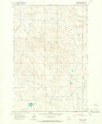
1963 · Akers Ranch
USGS Topo · 1:24,000

1963 · Musselshell NW
USGS Topo · 1:24,000
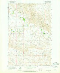
1963 · Breed Spring
USGS Topo · 1:24,000
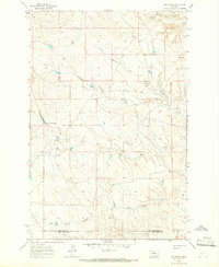
1963 · Mud Spring
USGS Topo · 1:24,000

1986 · Crowley Dam
USGS Topo · 1:24,000
1986 · Jim Coulee
USGS Topo · 1:24,000