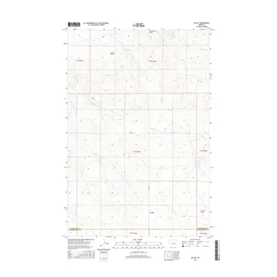
2017 Map of Kelley
USGS Topo · Published 2017About this map
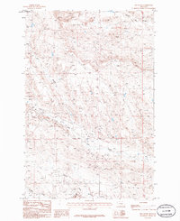
Kelley is located in the dry plains of Central Montana, situated along the southern boundary where Petroleum County meets Musselshell County. The landscape is defined by the drainage patterns of Mud Springs Cr and Maginnis Cr, which have carved out distinctive terrain features like Johnson Coulee and Salt Sage Coulee. North of the settlement, Rattlesnake Butte stands as a prominent landmark overlooking the surrounding draws and mesas.
Find a feature on this map
15 named features on this map. Tap any name to fly to it.
Don’t see what you’re looking for? This feature index may not catch every label — zoom into the map to look around manually.
Map Details
Editions of this 2017 Kelley Map
This is the sole edition of this map. No revisions or reprints were ever made.
Other maps of this area

1954 · Roundup
USGS Topo · 1:250,000

1958 · Roundup
USGS Topo · 1:250,000

1963 · Kelley
USGS Topo · 1:24,000

1963 · Petrolia Lake
USGS Topo · 1:24,000
1963 · Akers Ranch
USGS Topo · 1:24,000

1963 · Musselshell NW
USGS Topo · 1:24,000
1963 · Breed Spring
USGS Topo · 1:24,000
1963 · Mud Spring
USGS Topo · 1:24,000

1986 · Crowley Dam
USGS Topo · 1:24,000
1986 · Jim Coulee
USGS Topo · 1:24,000