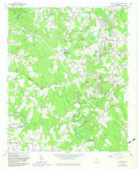
1964 Map of Kelleytown
USGS Topo · Published 1983About this map
Monastery of the Holy Ghost sits at the heart of this landscape, reflecting the spiritual and community anchors of the region during the mid-1960s. The area is defined by the winding course of the South River, which flows past landmarks like Peachstone Shoals and various family-named features. Local history is deeply etched into the terrain through legacy sites such as Tucker Mill and Camp Smyrna.
Find a feature on this map
81 named features on this map. Tap any name to fly to it.
Don’t see what you’re looking for? This feature index may not catch every label — zoom into the map to look around manually.
Map Details
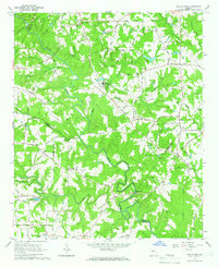
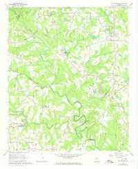
Editions of this 1964 Kelleytown Map
Other maps of this area

1888 · Atlanta
USGS Topo · 1:125,000

1890 · Atlanta
USGS Topo · 1:125,000

1892 · Atlanta
USGS Topo · 1:125,000

1895 · Atlanta
USGS Topo · 1:125,000

1896 · Monroe
USGS Topo · 1:125,000

1953 · Atlanta
USGS Topo · 1:250,000

1953 · Athens
USGS Topo · 1:250,000

1956 · Conyers
USGS Topo · 1:24,000

1956 · Redan
USGS Topo · 1:24,000

1957 · Atlanta
USGS Topo · 1:250,000