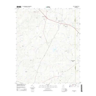
2014 Map of Kellyton
USGS Topo · Published 2014About this map
Socapatoy and Kellyton serve as the primary hubs in this central Alabama landscape, which transitions toward the northwestern outskirts of Alexander City. The topography is defined by the winding paths of Socapatoy Creek and the Elkahatchee Creek drainage basin, which feeds into local water bodies like Jordan Lake. Significant for genealogical research, the area is dotted with numerous burial sites, including the Doctor Kellys Private Cemetery and the New Shiloh Cemetery. The map captures a mix of small settlements such as Bradford, Keyno, and Ray, alongside family-named landmarks like Brooks Farm Pond. Transportation is anchored by the corridor of Us-280, linking these rural communities and providing a clear view of the road network and land divisions as they existed in the early twenty-first century.
Find a feature on this map
79 named features on this map. Tap any name to fly to it.
Don’t see what you’re looking for? This feature index may not catch every label — zoom into the map to look around manually.
Map Details
Editions of this 2014 Kellyton Map
This is the sole edition of this map. No revisions or reprints were ever made.
Other maps of this area

1890 · Talladega
USGS Topo · 1:125,000

1891 · Ashland
USGS Topo · 1:125,000

1892 · Talladega
USGS Topo · 1:125,000

1901 · Wetumpka
USGS Topo · 1:125,000

1903 · Wetumpka
USGS Topo · 1:125,000

1906 · Dadeville
USGS Topo · 1:125,000

1944 · Goodwater
USGS Topo · 1:62,500

1947 · Goodwater
USGS Topo · 1:62,500

1953 · Montgomery
USGS Topo · 1:250,000

1953 · Birmingham
USGS Topo · 1:250,000