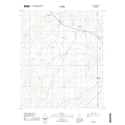
2020 Map of Kellyton
USGS Topo · Published 2020About this map
Socapatoy and Kellyton center this portion of the Alabama landscape, where the headwaters of numerous creeks begin their descent toward the Tallapoosa River. The terrain is defined by the winding paths of Socapatoy Creek, Elkahatchee Cr, and Oakachoy Cr, which carve through the countryside. Several small settlements and rural crossroads like Keyno, Bradford, and Ray are connected by a network of county roads and AL Highway 9. The map is particularly rich for genealogical research, documenting numerous burial sites such as Doctor Kellys Private Cem, New Shiloh Cem, and Maxwell Cem. Smaller water bodies like Swan Lake, Walls Lake, and Jordan Lake are scattered across the quadrangle, indicating the localized drainage patterns of this central Alabama region. The proximity to Alexander City at the southeastern edge suggests the gradual transition from quiet rural acreage toward more developed municipal centers.
Find a feature on this map
83 named features on this map. Tap any name to fly to it.
Don’t see what you’re looking for? This feature index may not catch every label — zoom into the map to look around manually.
Map Details
Editions of this 2020 Kellyton Map
This is the sole edition of this map. No revisions or reprints were ever made.
Other maps of this area

1890 · Talladega
USGS Topo · 1:125,000

1891 · Ashland
USGS Topo · 1:125,000

1892 · Talladega
USGS Topo · 1:125,000

1901 · Wetumpka
USGS Topo · 1:125,000

1903 · Wetumpka
USGS Topo · 1:125,000

1906 · Dadeville
USGS Topo · 1:125,000

1944 · Goodwater
USGS Topo · 1:62,500

1947 · Goodwater
USGS Topo · 1:62,500

1953 · Montgomery
USGS Topo · 1:250,000

1953 · Birmingham
USGS Topo · 1:250,000