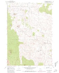
1967 Map of Kelsey Butte
USGS Topo · Published 1981About this map
The high desert south of Arnold Market Road is defined by volcanic geology and the essential management of water through the Arnold Canal. This 1967 survey, later photorevised in 1981, reveals a landscape dominated by prominent cinder cones such as Horse Butte and Cabin Butte, which are frequently marked by Cinder Pit mining activity.
Find a feature on this map
19 named features on this map. Tap any name to fly to it.
Don’t see what you’re looking for? This feature index may not catch every label — zoom into the map to look around manually.
Map Details
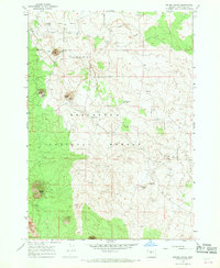
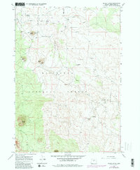
Editions of this 1967 Kelsey Butte Map
3 editions found
Other maps of this area

1926 · Bend
USGS Topo · 1:125,000

1929 · Bend
USGS Topo · 1:125,000

1931 · Newberry Crater
USGS Topo · 1:125,000

1935 · Newberry Crater
USGS Topo · 1:125,000

1955 · Crescent
USGS Topo · 1:250,000

1955 · Bend
USGS Topo · 1:250,000

1957 · Crescent
USGS Topo · 1:250,000

1957 · Bend
USGS Topo · 1:250,000

1958 · Crescent
USGS Topo · 1:250,000

1958 · Bend
USGS Topo · 1:250,000