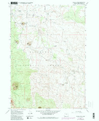
1967 Map of Kelsey Butte
USGS Topo · Published 1981About this map
Subterranean volcanic features and high desert volcanic cones define this 1967 survey of the high plateau southeast of Bend. A remarkable concentration of lava tubes and cavernous formations, including Skeleton Cave, Boyd Cave, and the Dark Hole Wind Cave, dot the high-elevation landscape within the Deschutes National Forest. These geological curiosities are joined by the Arnold Ice Cave and Charcoal Cave, indicating the unique thermal and historical characteristics of the central Oregon basalt flows.
Find a feature on this map
17 named features on this map. Tap any name to fly to it.
Don’t see what you’re looking for? This feature index may not catch every label — zoom into the map to look around manually.
Map Details
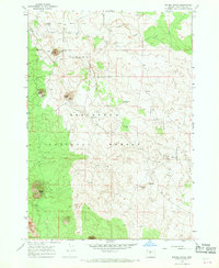
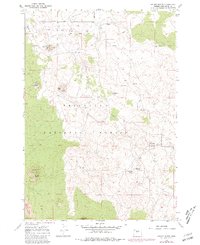
Editions of this 1967 Kelsey Butte Map
3 editions found
Other maps of this area

1926 · Bend
USGS Topo · 1:125,000

1929 · Bend
USGS Topo · 1:125,000

1931 · Newberry Crater
USGS Topo · 1:125,000

1935 · Newberry Crater
USGS Topo · 1:125,000

1955 · Crescent
USGS Topo · 1:250,000

1955 · Bend
USGS Topo · 1:250,000

1957 · Crescent
USGS Topo · 1:250,000

1957 · Bend
USGS Topo · 1:250,000

1958 · Crescent
USGS Topo · 1:250,000

1958 · Bend
USGS Topo · 1:250,000